
A powerful coastal storm is building strength along the eastern United States and is expected to deliver heavy snowfall and strong winds across the Northeast. According to meteorologist Chris Dolce, the system is likely to intensify rapidly as it moves near the coastline, raising concerns about blizzard conditions in several major cities.
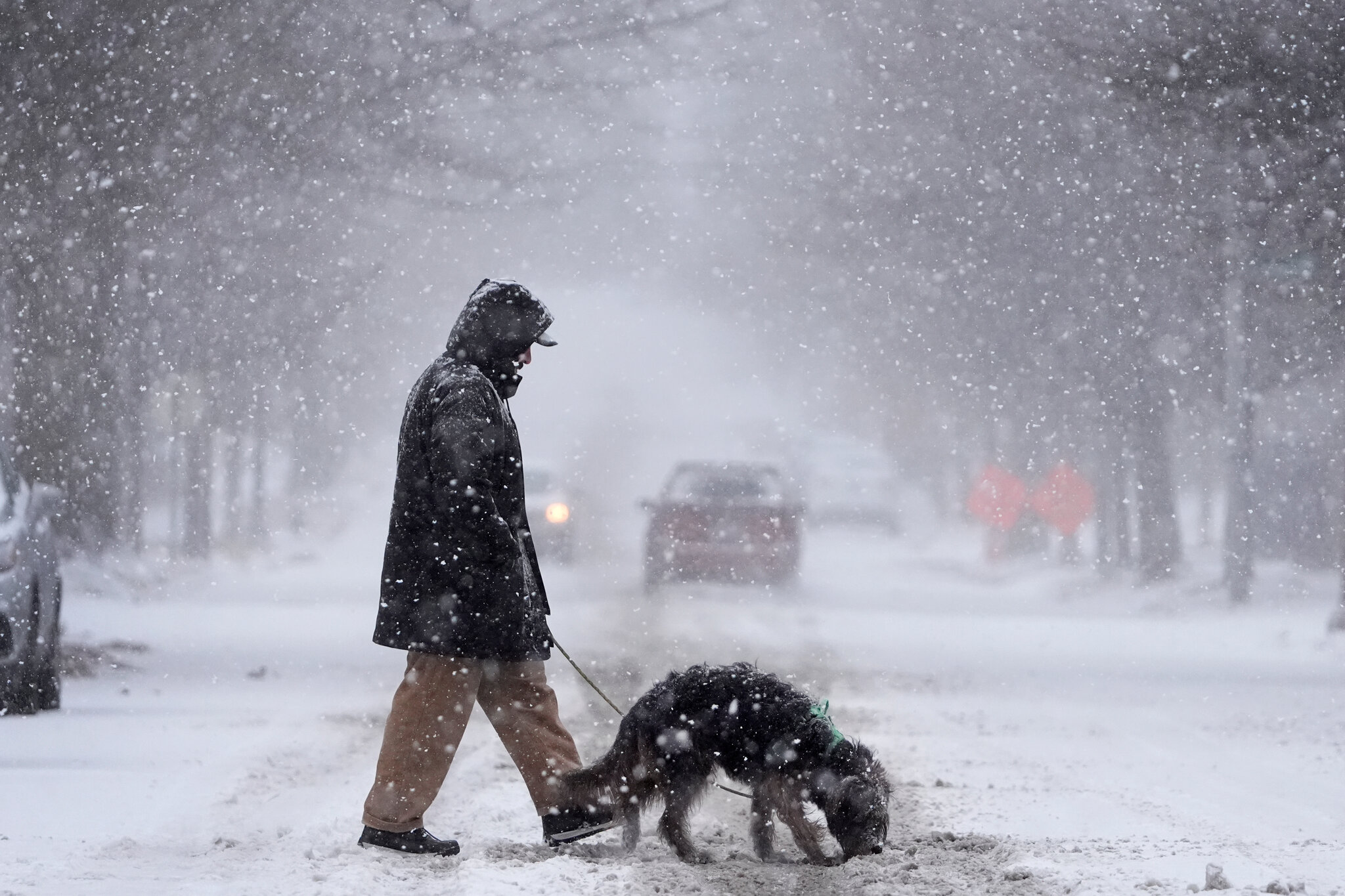
Weather forecasts indicate that the storm could impact densely populated areas including New York City, Boston, and Philadelphia. As colder air moves into the region, rain is expected to quickly change into steady snowfall, with some locations possibly receiving more than a foot of accumulation.
Storm Strength Increasing Along the Coast
Meteorologists are closely tracking the storm as it strengthens into what is known as a bomb cyclone, a process that happens when air pressure drops rapidly. This rapid intensification often leads to stronger winds and heavier precipitation.
The National Oceanic and Atmospheric Administration has warned that the system could bring widespread disruptions across parts of the Mid-Atlantic and New England. Travel delays, flight cancellations, and local closures are all possible as snowfall becomes heavier late Sunday into Monday.
Officials across affected areas have already begun preparing snowplows and emergency response teams to reduce risks on major roads.
Expected Snowfall and Wind Impact
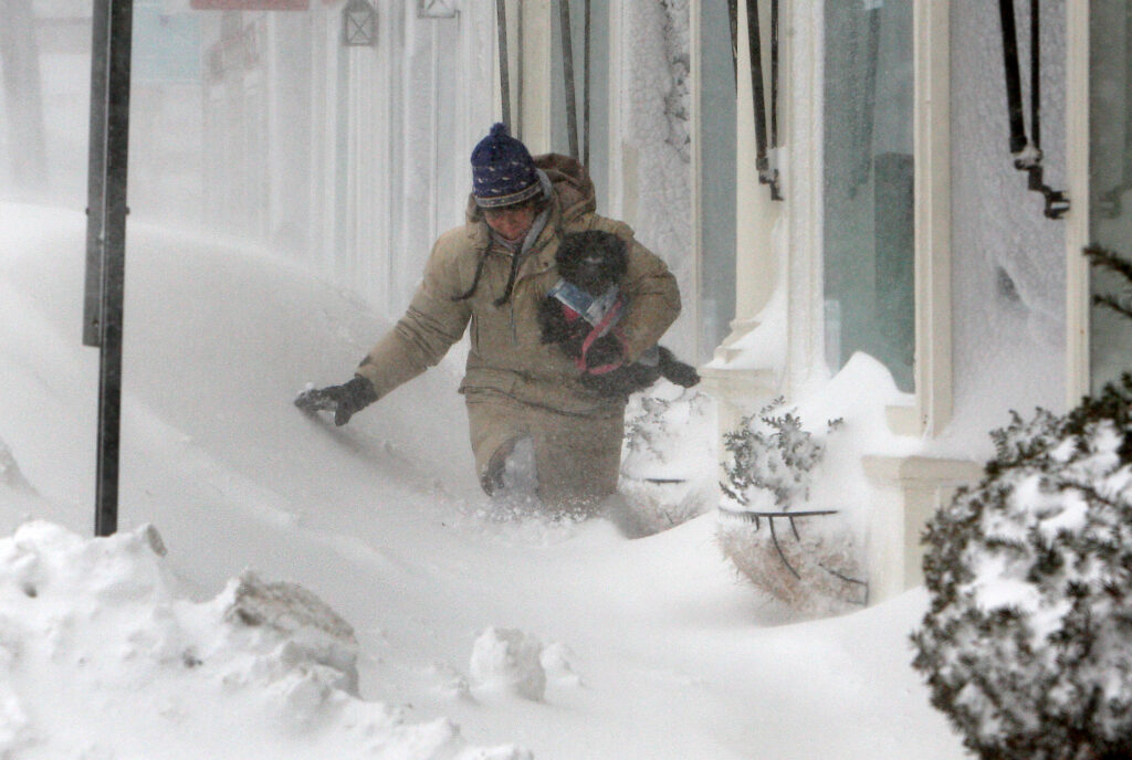
Forecast models show that heavy, wet snow will be the biggest concern in urban areas. This type of snow sticks easily to trees and power lines, increasing the risk of broken branches and scattered outages.
Strong winds may gust above 40 mph in several locations, especially near coastal regions such as Long Island and parts of New England. These winds could also lead to blowing snow, which reduces visibility and makes driving dangerous.
Below is a comparison of expected snowfall across major cities:
| City | Expected Snowfall | Wind Risk | Travel Impact |
|---|---|---|---|
| New York City | 10–14 inches | High | Severe delays |
| Boston | 8–12 inches | High | Major disruptions |
| Philadelphia | 8–12 inches | Moderate to High | Dangerous roads |
| Baltimore | 3–6 inches | Moderate | Slippery conditions |
Timing of the Storm’s Strongest Conditions
Snow is expected to begin during the day Sunday as a mix of rain and snow before turning fully to snow by evening. As the storm strengthens overnight, snowfall rates could reach one inch per hour in some areas.
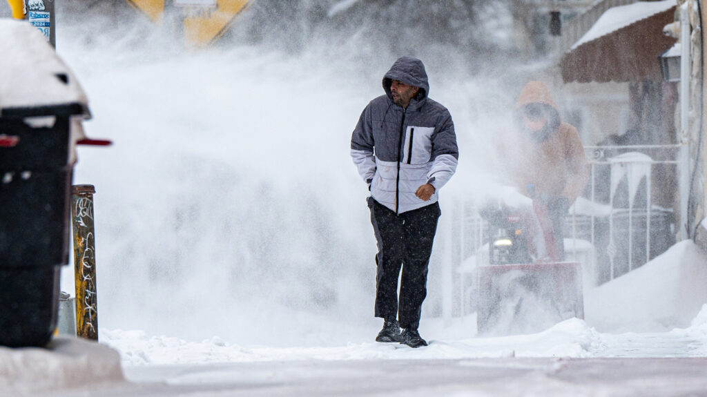
The most dangerous conditions are likely late Sunday night through Monday morning, when strong winds and heavy snow combine to create poor visibility and hazardous travel conditions. By Monday afternoon, the storm should gradually weaken as it moves farther north.
How Residents Should Prepare
Residents across the Northeast are encouraged to stay updated and prepare early. Limiting unnecessary travel, charging essential devices, and checking emergency supplies can help reduce risk during severe winter weather.
For continued coverage, readers can explore our winter weather updates and storm preparedness section to stay informed as conditions change throughout the weekend.